Log in
All resources
Create a design
34,149 Free Images of 1768 Maps
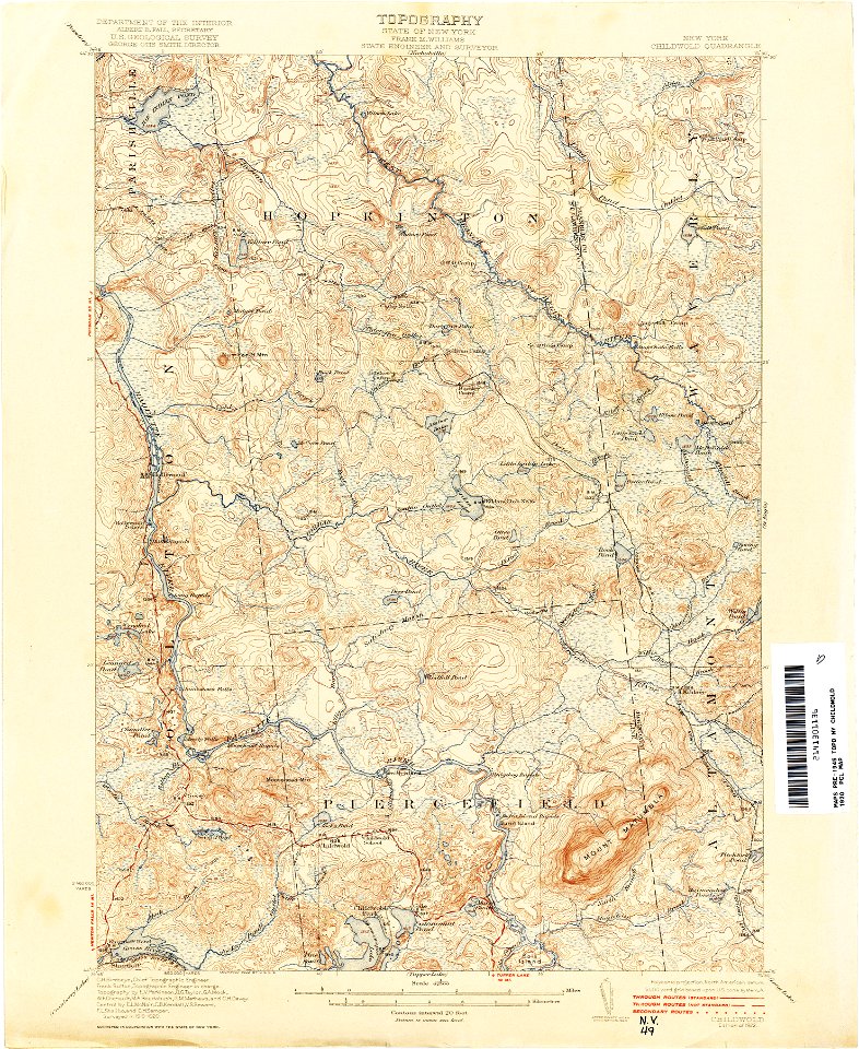
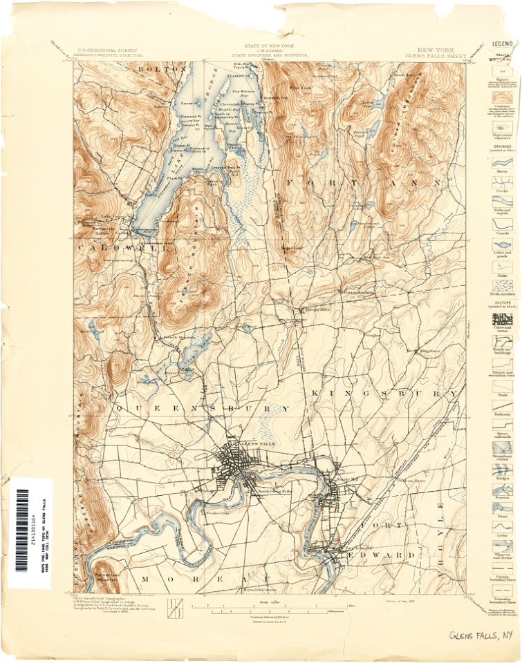
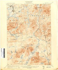
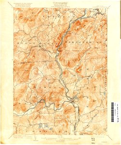
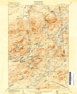
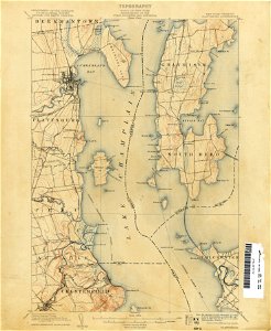
united states geological survey maps
topographic maps of new york (state)
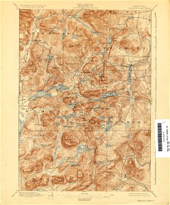
maps of the adirondack mountains
old maps of new york (state)
maps in the library of congress
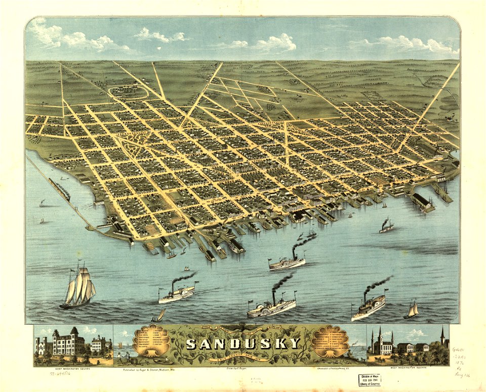
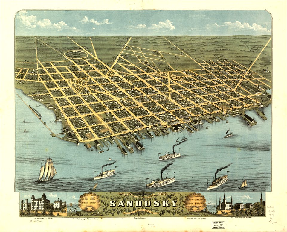
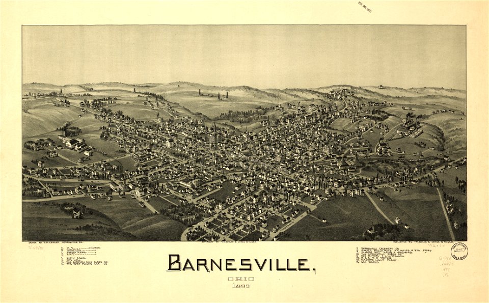
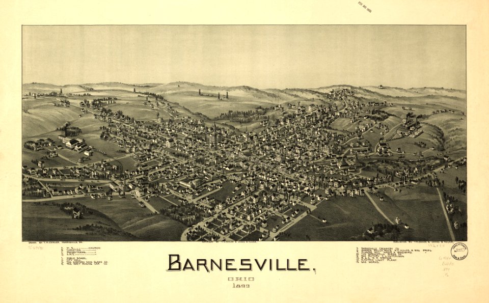
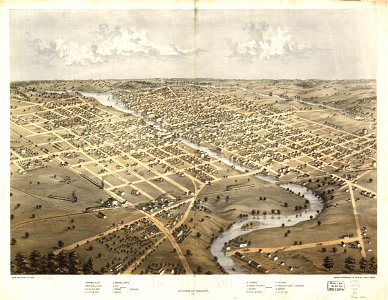
ohio
bird's eye view maps of ohio
albert ruger
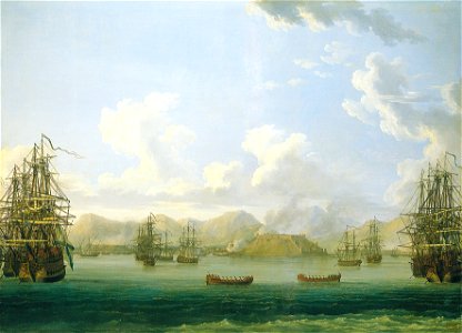
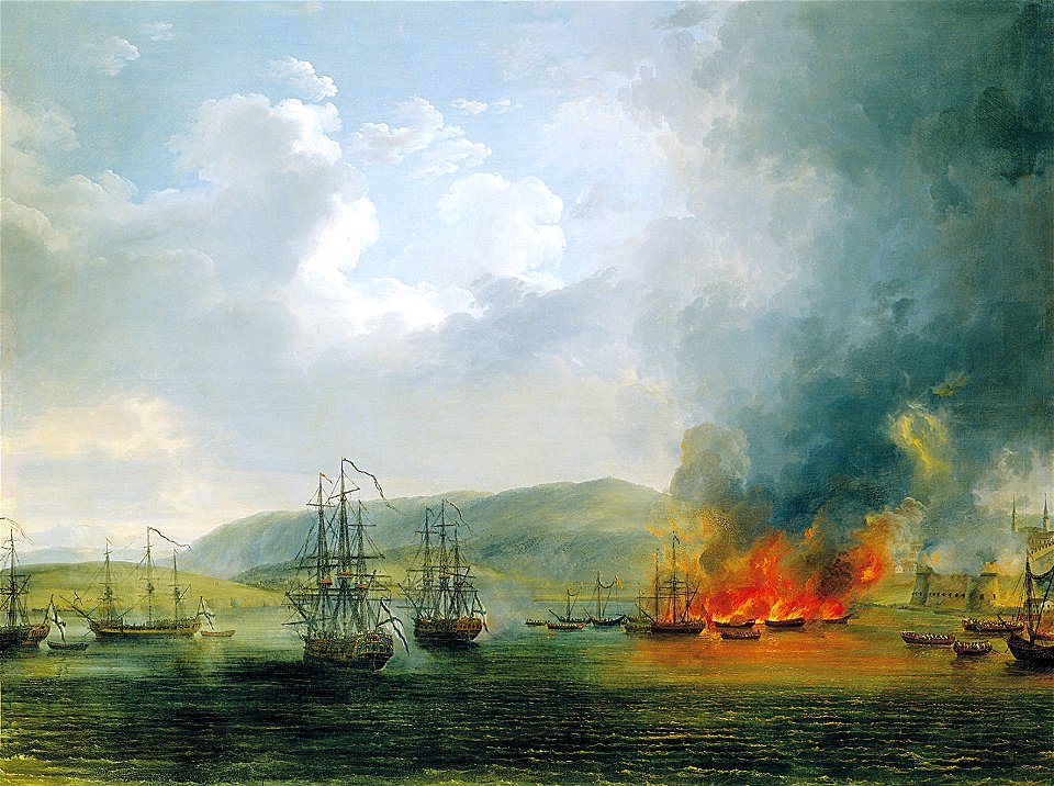
paintings by jacob philipp hackert
paintings in the grand peterhof palace
1710s
1712
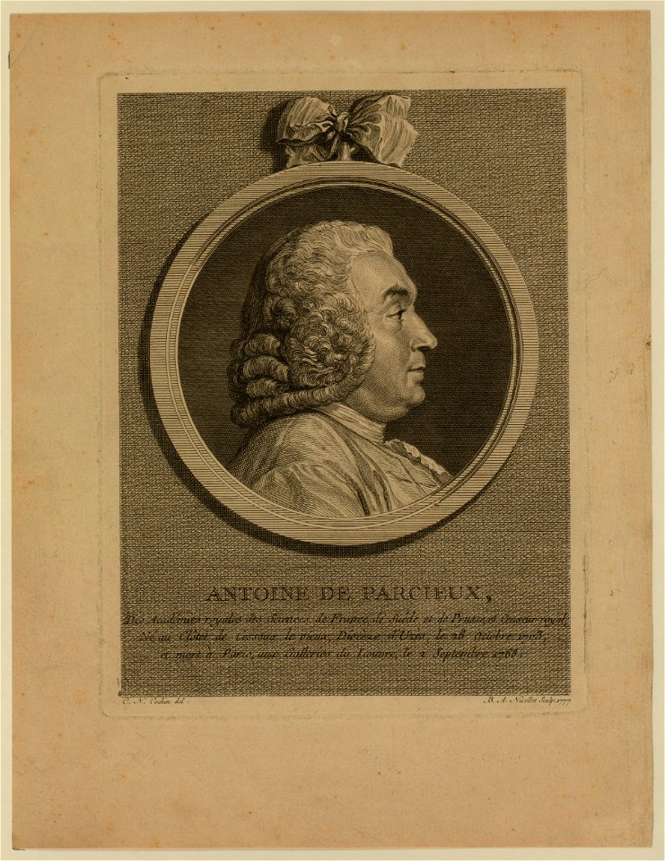
18th-century engraved oval portraits of men at bust length in profile
18th-century round portraits of men
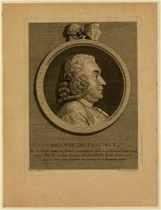
18th-century engraved oval portraits of men at bust length in profile
18th-century round portraits of men
paintings by jacob philipp hackert
rowing boat
paintings by jacob philipp hackert
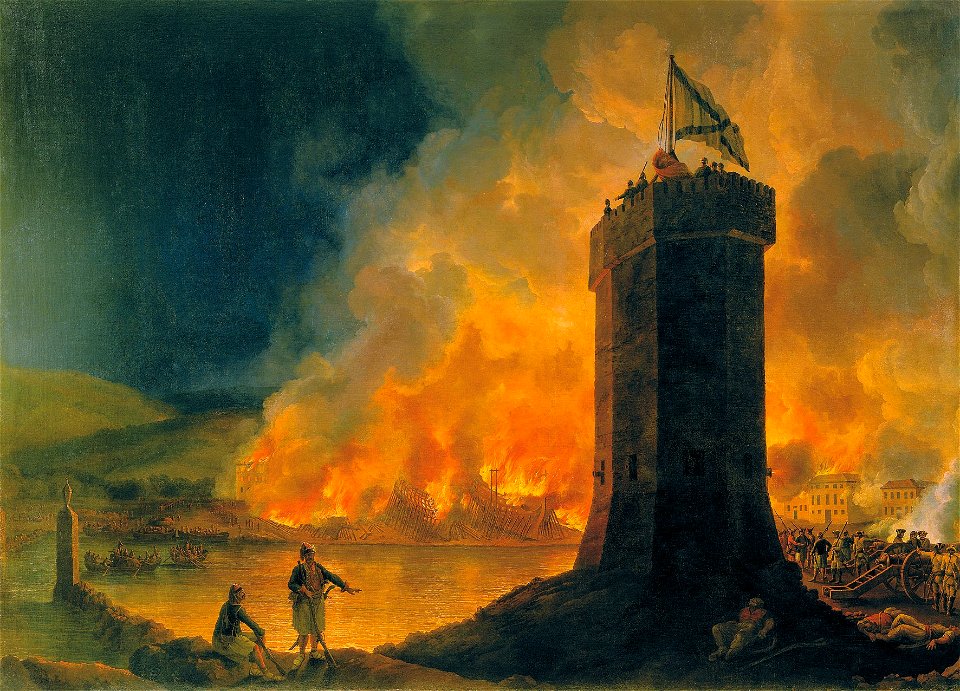
people with fire in art
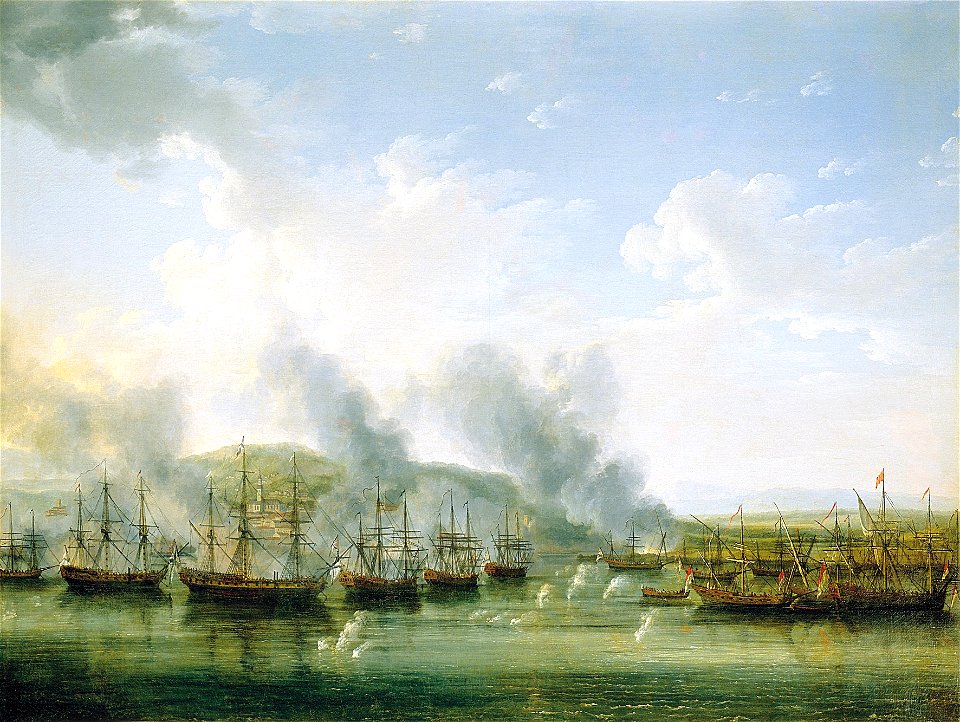
paintings by jacob philipp hackert
1772
paintings by jacob philipp hackert
1772
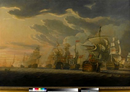
1787
1797
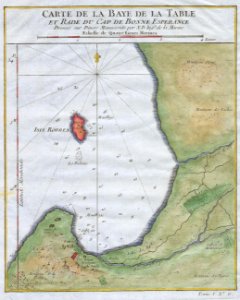
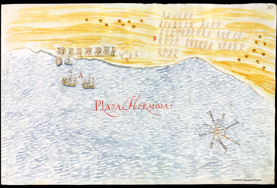
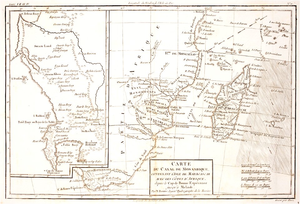
old maps of south africa
table bay
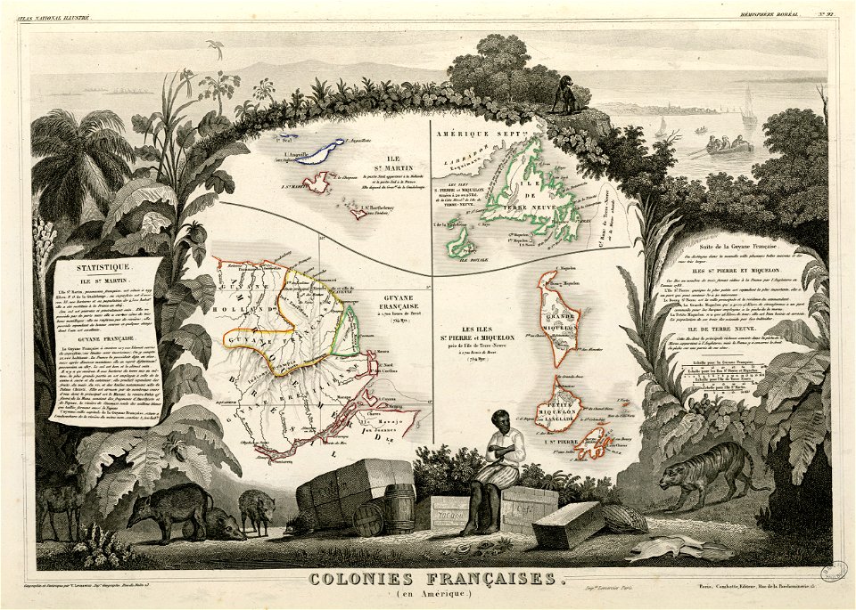
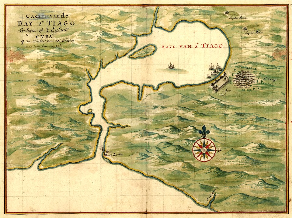
old maps of mexico
pictorial maps
prints from bonne atlas de toutes les parties at the peace palace library
maps of the comoros
harvard university
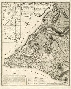
map of manhattan
koninklijk nederlands aardrijkskundig genootschap
map collection frederik muller & co
koninklijk nederlands aardrijkskundig genootschap
map collection frederik muller & co
details of 1830 vienna map series by carl graf vasquez
palais rasumofsky
koninklijk nederlands aardrijkskundig genootschap
map collection frederik muller & co
koninklijk nederlands aardrijkskundig genootschap
map collection frederik muller & co
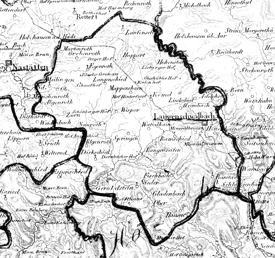
history of bad schwalbach
1828
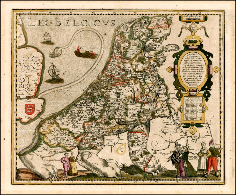
coats of arms on maps
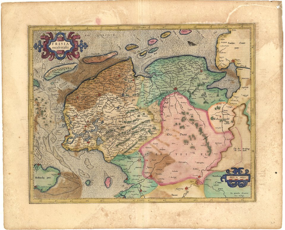
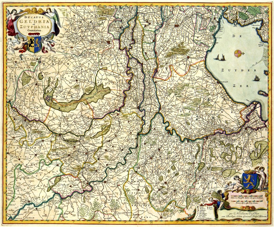
guelder
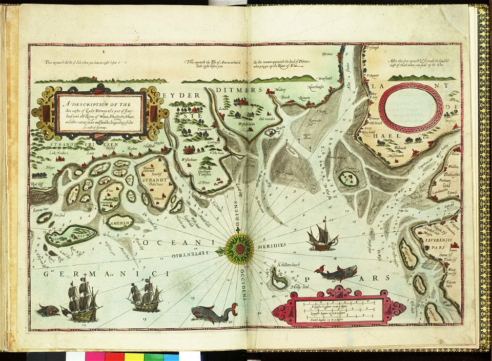
german bight
1588 maps
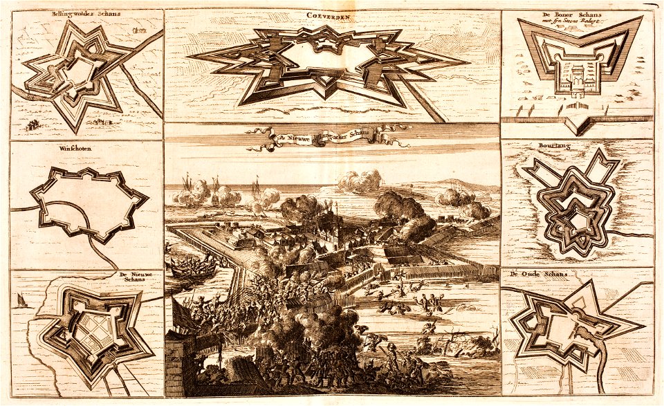
bad nieuweschans
coevorden
maps by samuel de champlain
old maps of new france
maps in the library of congress
ohio
maps in the library of congress
ohio
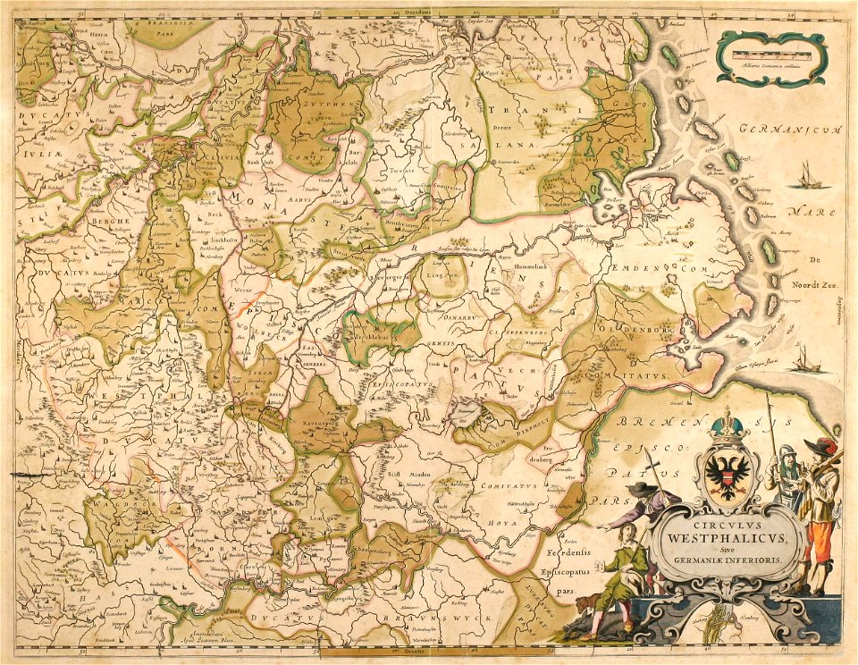
old maps of north rhine-westphalia
maps by willem and johannes blaeu
collections de la bibliothèque nationale et universitaire de strasbourg
german-language maps
english-language maps
1776 maps
illustrations of cosmographia (münster)
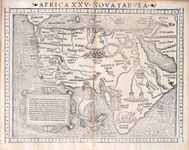
1550s maps of africa
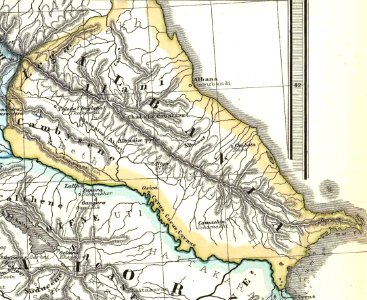
19th-century maps of the caucasus
1865 maps
united states geological survey maps
old maps of new york (state)
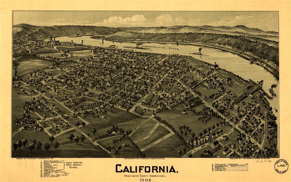
pennsylvania
california
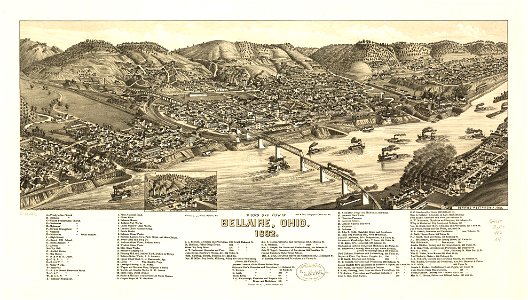
bellaire
ohio
bellaire
ohio
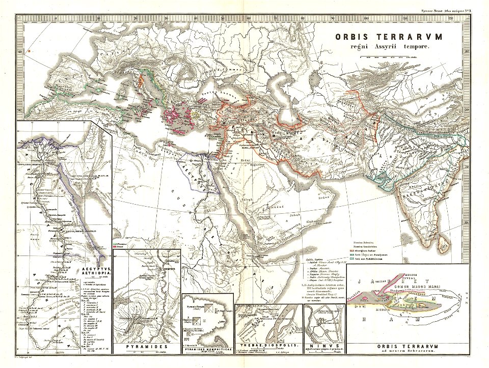
karl spruner von merz
1865 maps of europe
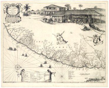
old maps of pernambuco
cornelis goliath
united states geological survey maps
old maps of new york (state)
united states geological survey maps
old maps of new york (state)
maps in the library of congress
ohio
maps in the library of congress
ohio
pieter van der keere
ships on maps
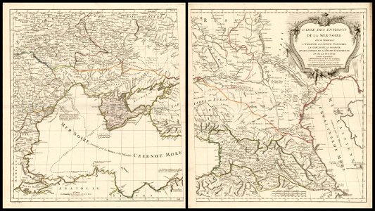
18th-century maps of the black sea
charles françois delamarche
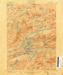
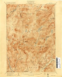
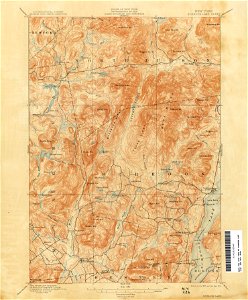
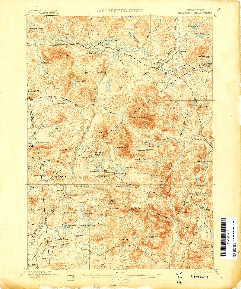
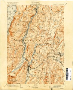
united states geological survey maps
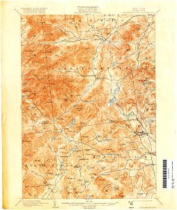
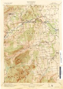
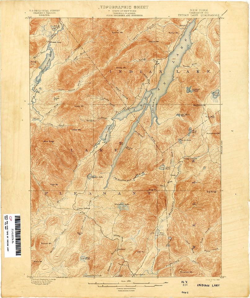
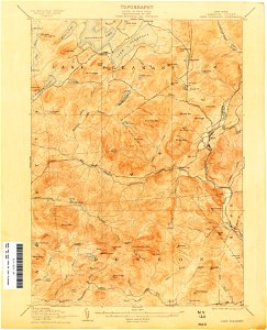
topographic maps of new york (state)
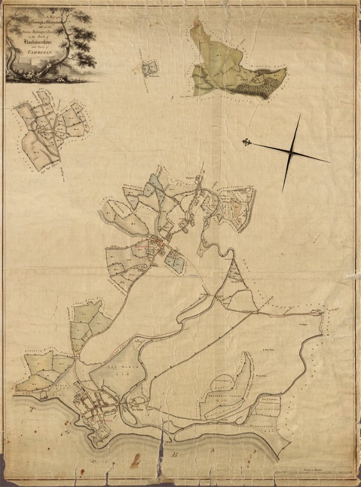
llanbadarn fawr
ceredigion
maps in the library of congress
1861 maps of south carolina
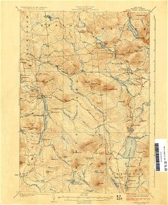
united states geological survey maps
old maps of new york (state)
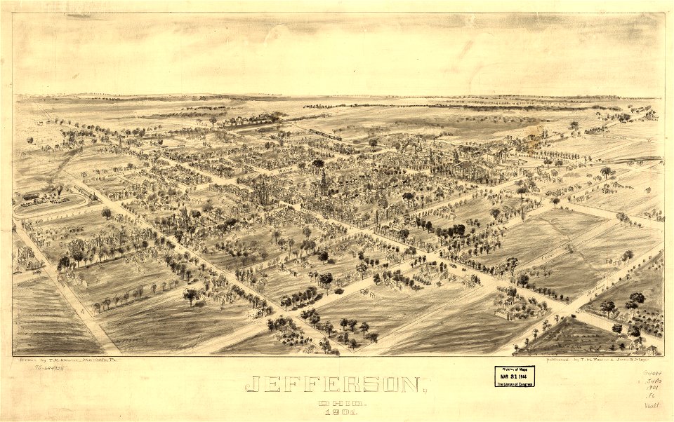
jefferson
ohio
jefferson
ohio
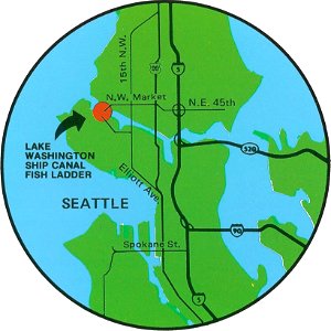
fish ladders in the united states
1996 maps
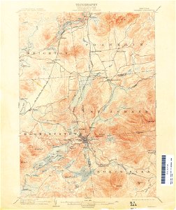
united states geological survey maps
old maps of new york (state)
giovanni marco pitteri
italian-language maps
united states geological survey maps
old maps of new york (state)
united states geological survey maps
old maps of new york (state)
united states geological survey maps
old maps of new york (state)
united states geological survey maps
old maps of new york (state)
united states geological survey maps
old maps of new york (state)
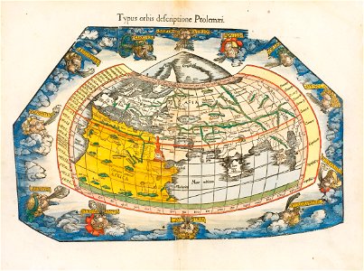
ptolemaic world maps
latin-language maps
united states geological survey maps
old maps of new york (state)
united states geological survey maps
old maps of new york (state)
united states geological survey maps
old maps of new york (state)
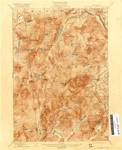
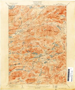
united states geological survey maps
topographic maps of new york (state)
maps in the library of congress
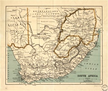
old maps of south africa
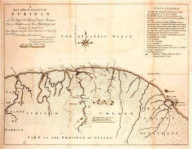
old maps of suriname
old maps of guyana
united states geological survey maps
old maps of new york (state)
united states geological survey maps
old maps of new york (state)
maps in the library of congress
old maps of south africa
united states geological survey maps
old maps of new york (state)
united states geological survey maps
old maps of new york (state)
united states geological survey maps
old maps of new york (state)
united states geological survey maps
old maps of new york (state)
united states geological survey maps
old maps of new york (state)
fonds ancely - bibliothèque municipale de toulouse - maps
old maps of guyana
united states geological survey maps
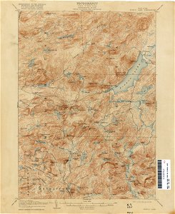
topographic maps of new york (state)
maps in the library of congress
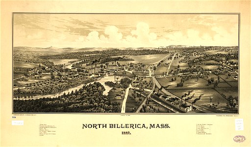
old maps of massachusetts
maps in the library of congress
old maps of massachusetts
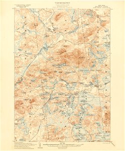
united states geological survey maps
topographic maps of new york (state)
united states geological survey maps
old maps of new york (state)
united states geological survey maps
topographic maps of new york (state)
maps in the library of congress
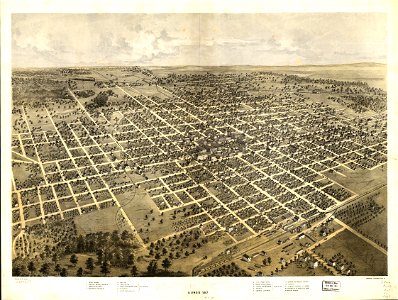
illinois
maps in the library of congress
illinois
united states geological survey maps
old maps of new york (state)
united states geological survey maps
old maps of new york (state)
united states geological survey maps
old maps of new york (state)
wisconsin
watertown
united states geological survey maps
old maps of new york (state)
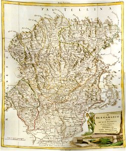
old maps of the province of bergamo
maps by antonio zatta
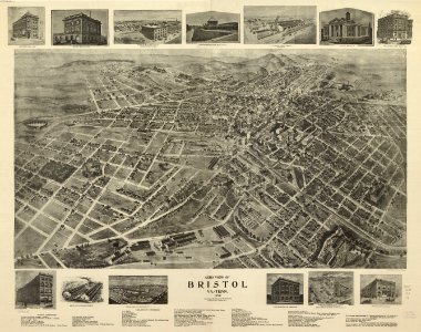
tennessee
virginia
old maps of the german colonies
old maps of colonial africa
maps of the aleutian islands
1940s maps of alaska
french-language maps of china
description de la chine
georg christoph eimmart
old celestial maps
maps from the mechanical curator collection
1857 books
maps in the library of congress
1639 maps
maps in the library of congress
1639 maps
bibliothèque municipale de reims
mm 466
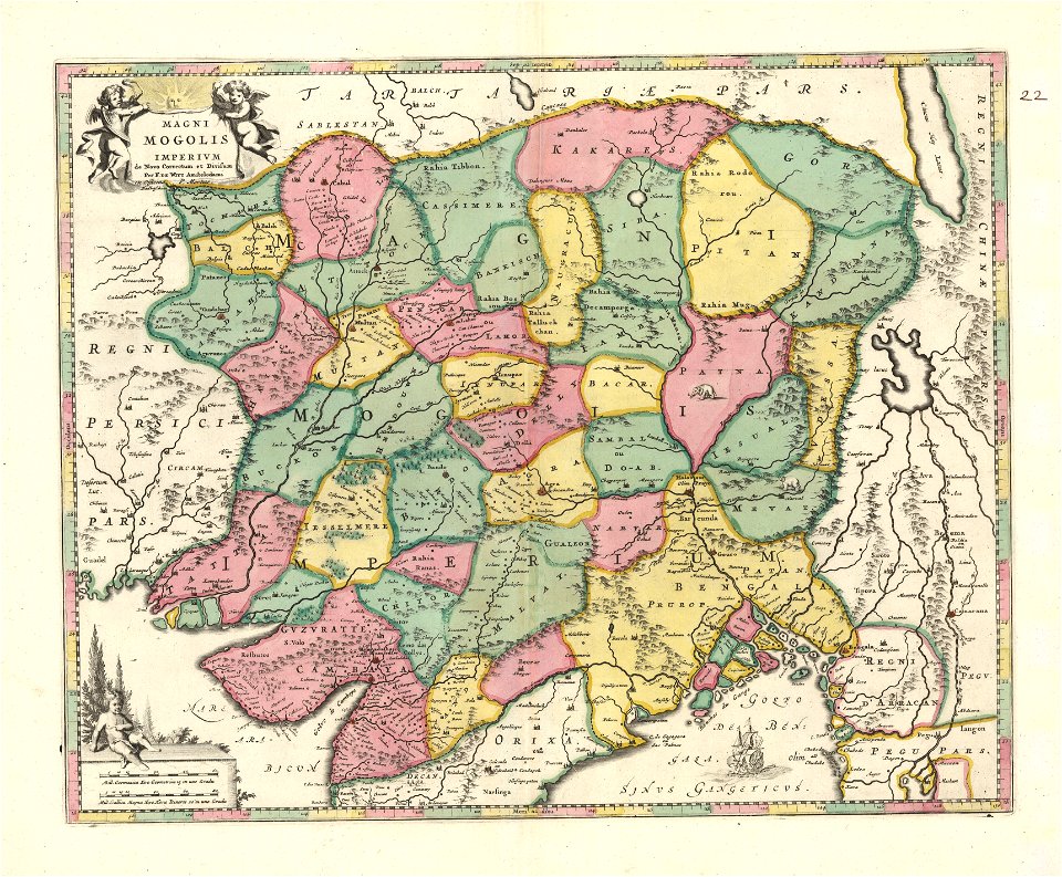
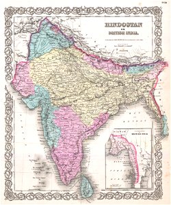
old maps of the indian subcontinent
maps by joseph hutchins colton
43rd indiana infantry regiment
1855 maps
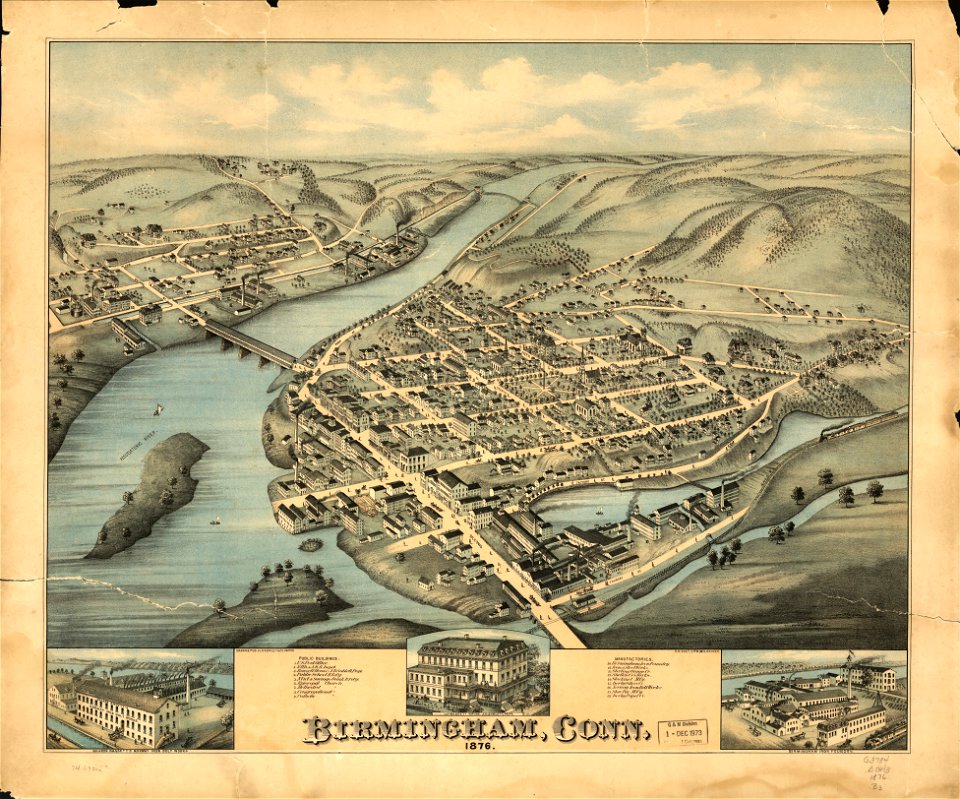
old maps of connecticut
o. h. bailey
maps in the library of congress
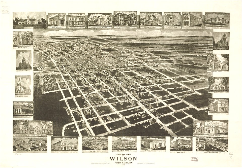
1908 maps
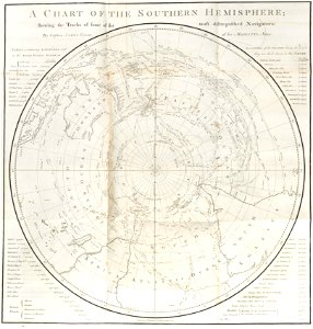
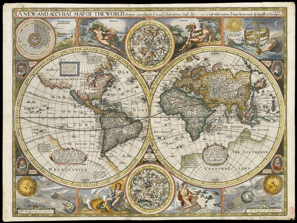
charts and maps of the royal museums greenwich
1626 maps
charts and maps of the royal museums greenwich
1626 maps
2101 - 2200 of 34,149
Next page
/ 342